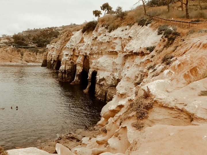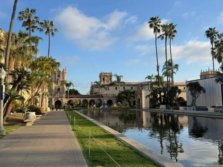

San Diego neighborhoods can appear close while feeling disconnected on the ground. Canyons interrupt the street network. Freeways and infrastructure create scale changes. A waterfront may face bay rather than Pacific. A district that looks central may have a very different walking pattern from the next one.
Read the barrier before the attraction
Start with the actual route: grade, crossing, transit connection, parking assumption, and the location of the public entrance. Do not infer walkability from a straight-line map distance. The time spent finding the route is part of the visit.

Taste of Little Italy in San Diego
During this tour, you will learn about the rich history, culture, and architecture of the area from one of our highly trained guides throughout the wa...
Let each district remain specific
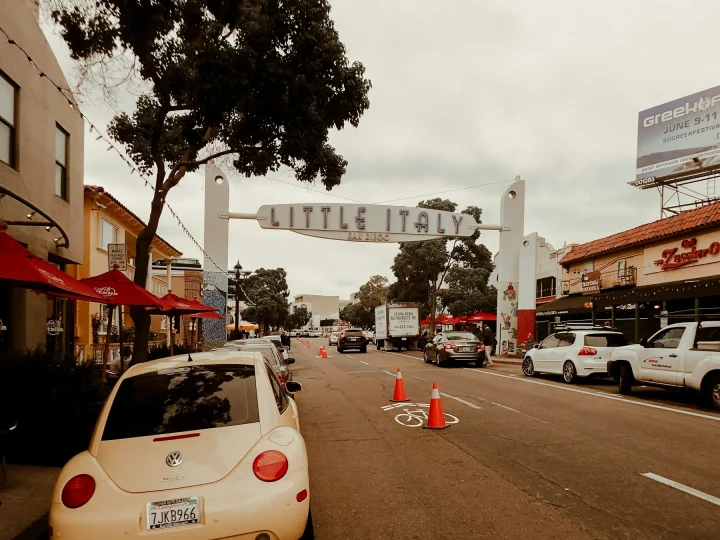
Barrio Logan’s community history, public art, industry, housing, and infrastructure require more care than a “vibrant” caption. Little Italy’s sign, restaurants, residences, traffic, and event conditions do not make it a universal template for urban San Diego. North Park, Convoy, South Bay communities, La Jolla, and downtown each ask different questions.
Choose one neighborhood for a meal, street walk, institution, market, or event that is actually current. Learn from community-led and primary sources. Credit artists. Avoid using murals, residents, or businesses as anonymous atmosphere.
Pair without flattening

USS Midway Museum Admission: Valid Any Date
Experience life at sea without leaving port by visiting the USS Midway Museum, San Diego's number 1 rated visitor at...

San Diego Harbor Speed Boat Adventure
Rev up your excitement with a one-of-a-kind San Diego Speed Boat Adventure! Captain your own speed boat on a guided...

San Diego Bay Jet Boat Ride
A boat ride on San Diego Bay is lovely, but an exhilarating ride on a dual-engine jet boat is an experience to remem...
Taste of Little Italy in San Diego
During this tour, you will learn about the rich history, culture, and architecture of the area from one of our highly trained guides throughout the wa...
A useful day may pair a neighborhood with a nearby civic or geographic condition, but the pairing should not imply they are the same experience. Leave travel time, verify the route, and protect an open interval so a street-level discovery does not become a delay to the next fixed reservation.