San Diego Harbor Cruise
Take a 1- or 2-hour relaxing harbor cruise through the bay of San Diego, featuring unforgettable views of San Diego'...

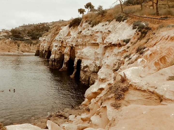
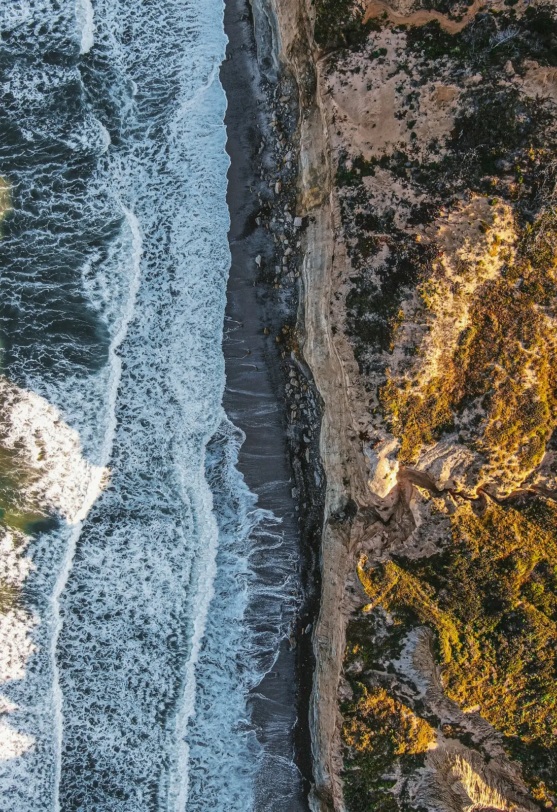
Read the city as a transect: Pacific water, sandstone bluff, urban canyon, neighborhood, working bay, and the knowledge carried between them.
01 / SOUNDINGThe expected blue is only the first layer.
The most useful San Diego plans connect water, landform, neighborhood, and time of day instead of treating the map as a bag of attractions.
Open coast and sheltered water ask for different days.
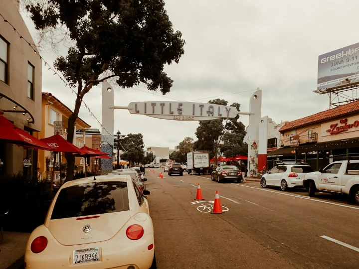
CANYON / STREETNeighborhoodsShort map distances can cross very different urban ground.
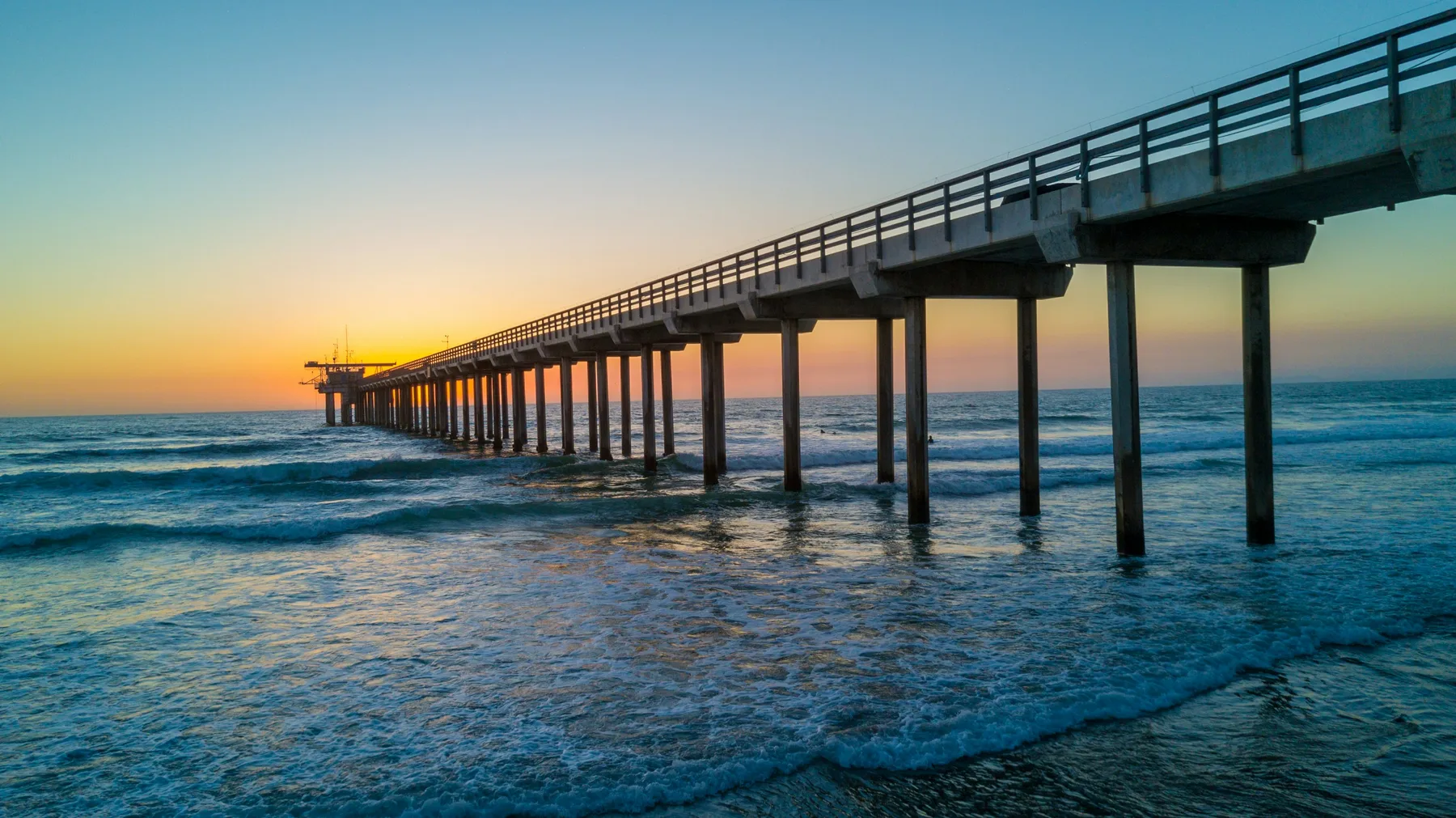
ARCADE / INFRASTRUCTUREArts & CultureCivic gardens, cultural institutions, murals, and working structures belong in the same city.
FOG / CLEARINGOutdoorsMarine layer and inland light can reshape the same plan.
ANCHOR / SPACEPlan Your TripChoose one defining plan, then leave room around it.

Move with enough time to notice the material shift: concrete span, garden threshold, storefront rhythm, working waterfront, and canyon edge.
Read neighborhood guides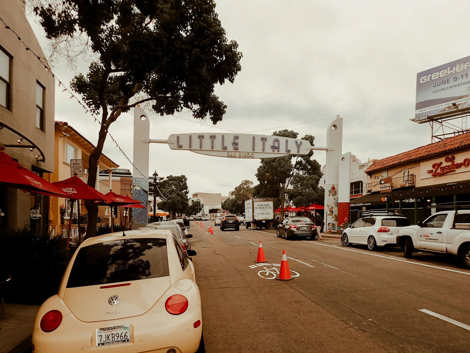
TravelSpark selects the live inventory. The guide supplies context and a San Diego-specific reading frame.
Take a 1- or 2-hour relaxing harbor cruise through the bay of San Diego, featuring unforgettable views of San Diego'...

Discover the best of San Diego Bay on our expertly narrated harbor tour. Spanning over 13 miles, this journey takes...

Experience the ultimate San Diego sailing adventure with a spacious catamaran cruise, offering your choice of a rela...
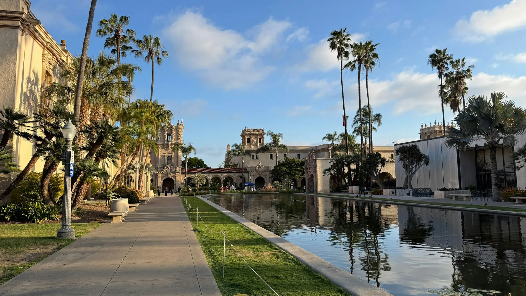
Balboa Park’s long thresholds, planted shade, museums, and public paths are another kind of orientation system—one built for lingering rather than covering distance.
Explore arts and cultureA flexible framework for one anchor, one nearby contrast, realistic transport, and a protected open interval.
Read the guidePlan outdoor time with real access, changing coastal light, dry-land conditions, and a safe return route.
Read the guideWhy canyons, mesas, freeways, waterfront edges, and street scale matter more than a short line on the map.
Read the guideLodging works differently beside the bay, near a canyon, in a walkable district, or close to the coast. Live hotel inventory will appear here when the owner completes the Nuitee import.
Hotel inventory will appear here after the site owner completes the lodging import.